
Latest

Bagmati Province

Latest from Chitwan

The latest WeNepal stories that mention Chitwan district, Bagmati Province.

  • Citizenship Certificates Distributed to Residents in Remote Chitwan Wards

    Authorities have distributed citizenship certificates and voter identity cards directly to residents in the remote areas of Chitwan, often referred to as the Karnali of the district. An administrative team travelled to the villages to assist citizens who found the process of travelling to the district headquarters challenging. Alongside citizenship distribution, officials registered eligible residents for voter cards, including individuals who already held citizenship but had not yet registered to vote. Local representatives noted that a significant number of elderly residents over the age of 70 previously lacked these essential documents. From public sources and the WeNepal research team
  • Landslips and road subsidence disrupt travel along Prithvi Highway

    Continuous heavy downpours have caused significant disruptions across the Prithvi Highway, with landslips and road subsidence reported in multiple locations within Ichchhakamana rural municipality in Chitwan. Traffic movement remains restricted, while authorities have partially reopened a single lane near Simaldhara in ward number 5 of the municipality following a fresh slip. Travel along the transport corridor continues to carry high risks as unstable ground conditions persist. From public sources and the WeNepal research team
  • Flood alerts issued for Narayani and Darmakhola rivers

    The Flood Forecasting Division issued a notice on Saturday warning that water levels in specific rivers have crossed alert thresholds. Officials advised people residing in vulnerable locations near the waterways to remain cautious as river flows continue to rise. From public sources and the WeNepal research team
  • Narayani river erosion threatens structures along Bharatpur riverbank

    Bharatpur Metropolitan City planned to transform the riverbank area near the industry and commerce association into a sea beach model. Officials coordinated with the federal government to construct footpaths and concrete pedestrian walkways. However, annual floods have repeatedly washed away these structures, preventing the location from being secured as a tourist destination. Former municipal leaders and local business figures highlighted that high water levels have now reached the commercial market zone. From public sources and the WeNepal research team
  • Road collapse suspends Manakamana cable car service in Chitwan

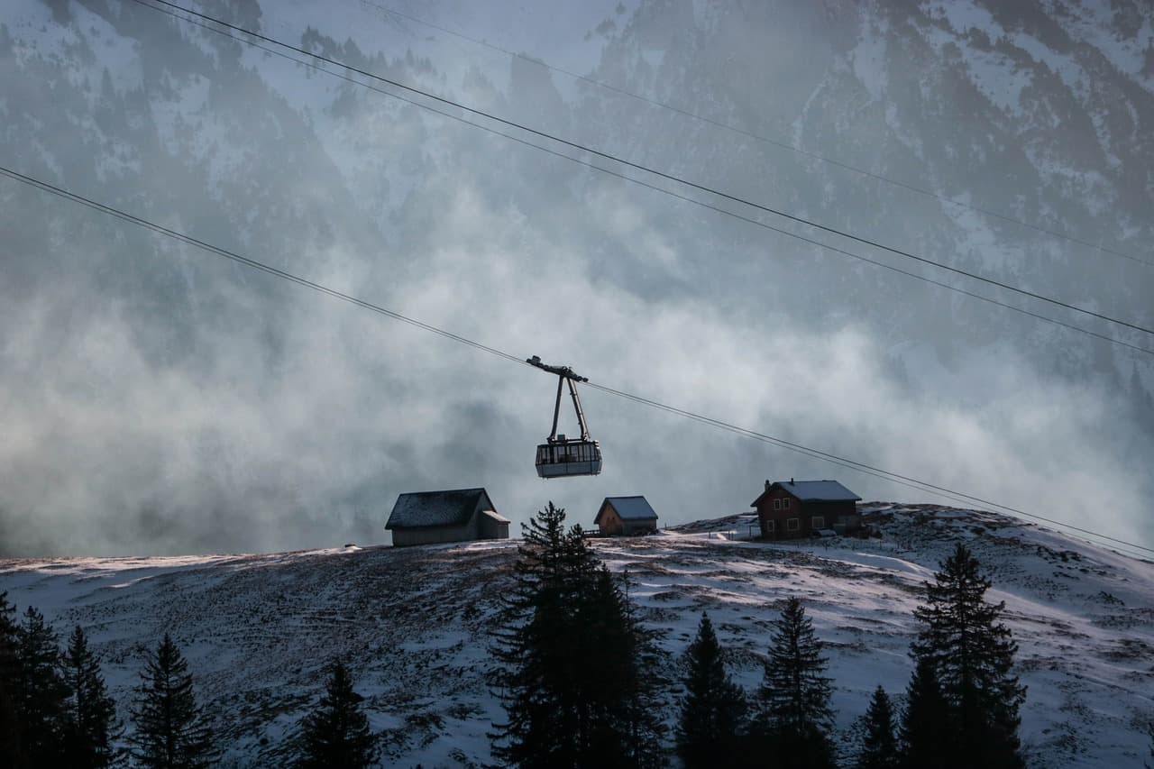
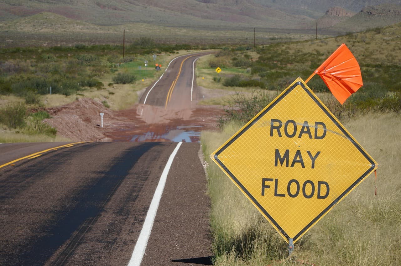
    Continuous heavy rainfall triggered a road collapse inside the entrance of the Manakamana cable car facility in Ichchhakamana rural municipality-4, Chitwan. The incident occurred as swollen river currents struck a suspension bridge connecting to Shahid Lakhan rural municipality-3 in Gorkha, causing the main highway to crack and the internal pathway to give way. Ward Chairperson Rudra Upreti reported that ongoing water pressure against the bridge continues to elevate local dangers. Consequently, the transportation service remains suspended. From public sources and the WeNepal research team
  • Chitwan National Park urges caution amid flood and erosion risks

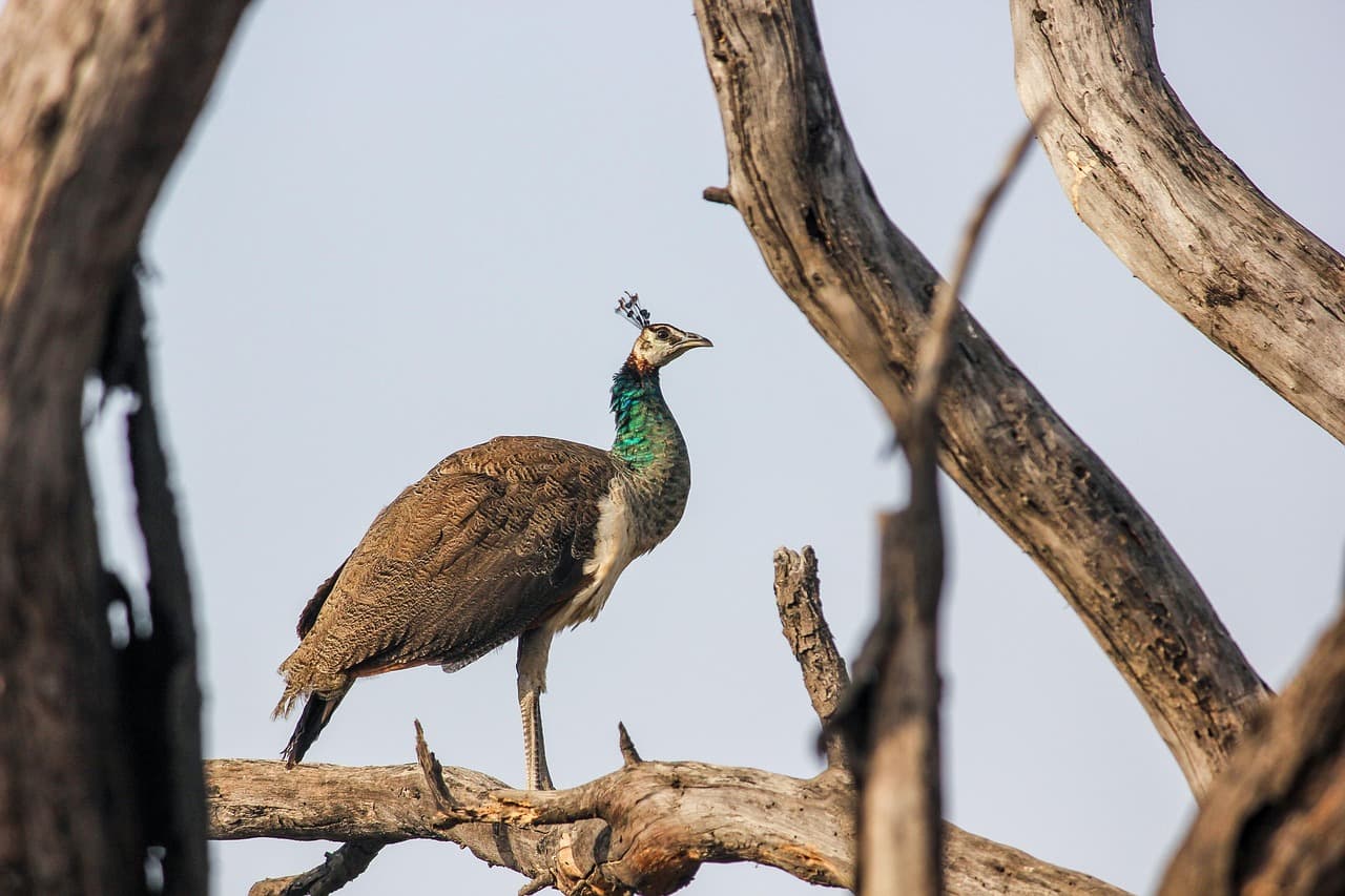
    The Chitwan National Park Office has issued an advisory asking people to exercise increased caution in and around the park due to rising flood threats from ongoing rain. Officials warn that local water bodies, including the Narayani, Rapti, and Riu Rivers, face high water levels, erosion, and inundation risks. Park staff, community groups, residents, and visitors are urged to monitor weather updates and avoid hazardous water channels. From public sources and the WeNepal research team
  • Narayangadh-Muglin road reopens while Prithvi Highway clearance continues

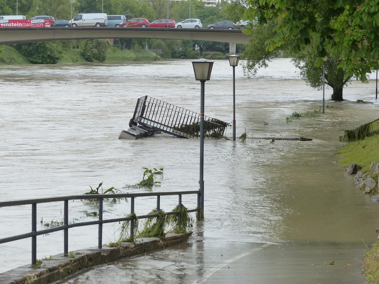
    The Narayangadh-Muglin road reopened following the removal of a morning mudslide near the Namshi Khola bridge, permitting traffic movement towards Pokhara. Meanwhile, continuous rainfall caused landslides at eleven distinct sites along the Malekhu-Muglin section of the Prithvi Highway. Damage was recorded in areas such as Fishling, Dharapani, Chumlingtar, and Krishnabhir, involving fallen trees, cracked pavement, and rockfalls. Officials indicated that clean-up operations are progressing at all impacted points, with expectations to restore full traffic flow by evening should weather conditions permit. From public sources and the WeNepal research team

  • Flood alert in Narayani River as water level rises

    The Narayani River has crossed the alert level after rains began on Thursday. The Narayani Basin Office in Chitwan reports the water surface at ८ दशमलव ३० मिटर. Chief Officer Sumit says the river flow is increasing and residents in the coastal area should stay alert. He notes that ७ दशमलव ३० मिटर is the warning threshold and ९ मिटर would trigger a danger level. The river has not yet flooded settlements, but the Deputy District Officer Ganesh Aryal urges people to move to safer places. From public sources and the WeNepal research team
  • Narayani River hits record 11.94m level in Chitwan

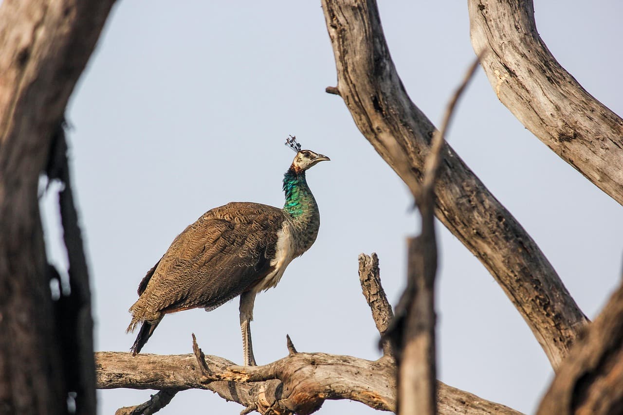
    The Narayani River in Chitwan reached a record high of 11.94 meters on 27 September 2026, according to the Narayani Basin Field Office in Bharatpur. This measurement at the Devghat station surpasses the previous record of 11.6 meters set in 2024. Although levels dropped to 11.75 meters by late afternoon, the river remains significantly above the 9-meter danger threshold. Engineer Sumit Adhikari noted that continued rainfall in the hills could cause further fluctuations. From public sources and the WeNepal research team

  • Chitwan National Park urges heightened vigilance amid flood risk

    The Chitwan National Park office has asked staff, local groups and visitors to adopt high vigilance as continuous rain raises flood and landslide risks in the park and its buffer zone. Information officer and conservation officer Avinash Thapamagar said the Narayani, Rapti and Riu rivers and smaller streams are likely to experience higher flow, increasing the chance of flooding and riverbank erosion. The park urges only travel with weather forecasts and to avoid hazardous river and stream areas during adverse conditions. From public sources and the WeNepal research team

  • Panchase in Kaski records 189 mm, Nepal's highest rainfall in 24 hours

    The Panchase area of Kaski received 189 mm of rain in the 24 hours to 26 September 2026, the most anywhere in Nepal. Archale in Palpa recorded 172 mm, Bharse in Gulmi 170.8 mm, and Kuhun and Darbang in Myagdi 165.2 mm and 161 mm. Rivers and streams in Banke, Myagdi, Parbat, Lamjung, Chitwan and Bhojpur are approaching alert level, and the Kiran Nala in Banke and Mangalghat in Myagdi have already crossed it. The department says monsoon and westerly winds are both partly influencing the country's weather. From public sources and the WeNepal research team
  • Landslides shut BP and Prithvi highways as heavy rain persists

    Several major highways were blocked or restricted on Friday after continuous rain set off landslides at multiple points, cutting road links between Kathmandu and other regions. The BP Highway was blocked at Charsayabensi and Gimdi in Kavrepalanchok at around 4:30am, and night closures from 5pm to 5am apply on its Kavrepalanchok section until Sunday morning. In Chitwan, the Prithvi Highway and the Narayanghat-Muglin road are shut until further notice. Landslides hit seven spots on the Prithvi Highway in Dhading, two of them fully blocked, and three locations on the Lalitpur side of the Kanti Lokpath. Police have asked travellers to check road conditions first. From public sources and the WeNepal research team

  • Subsidence and landslides slow Prithvi Highway traffic in Chitwan

    On the Chitwan side, the Mugling–Mauwakhola stretch is open to one-way traffic, while the Dhading section has not yet fully reopened. At Dharapani in ward 4 the road has subsided further, so only small vehicles are being let through, one way at a time. Near Mugling, a landslide at Simaldhara in ward 5 has reduced the road to a single lane, and falling rocks are hampering clearance. The agencies responsible say they are monitoring the road and running traffic with caution. From public sources and the WeNepal research team